A stay at Aros Mains near Salen gives you a base for exploring central Mull and planning days further north and west. Choose a short woodland outing, follow a lochside track into the hills, or set aside more time for a coastal walk.
The routes below start at their named car parks or villages, rather than at Aros Mains. Distances and walking times refer to the particular routes linked; allow extra time for stops and your journey there. Open the full route guide before setting off, and check local notices for changes to access or paths.
Shorter woodland walks
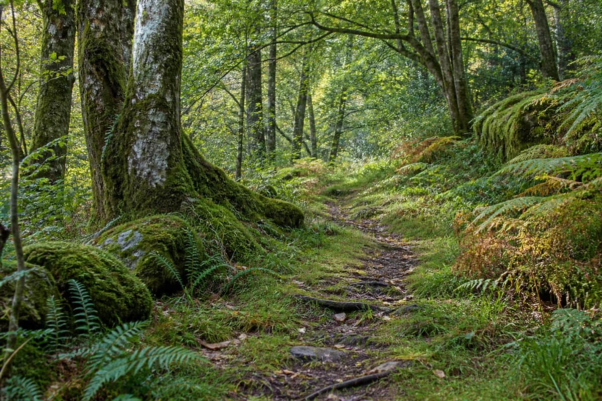
Woodland walk · AI illustration
Glen Aros: Cill An Ailean Trail
Near Salen · 1.4 km · about 45 minutes
This short forest route visits an old burial ground, combining woodland with a glimpse of local history. It is a useful option when you want a shorter outing in the Salen area. Forestry and Land Scotland grades it moderate: expect roots, uneven grassy ground, a steep slope and possible mud.
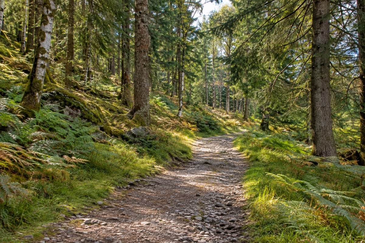
Choose this woodland loop for a shorter walk on Mull's east coast. Listen for birds in the trees as you follow a mixture of gravel and earth paths. Its moderate grade reflects uneven or muddy stretches and some short steeper slopes; it is not a surfaced path throughout.
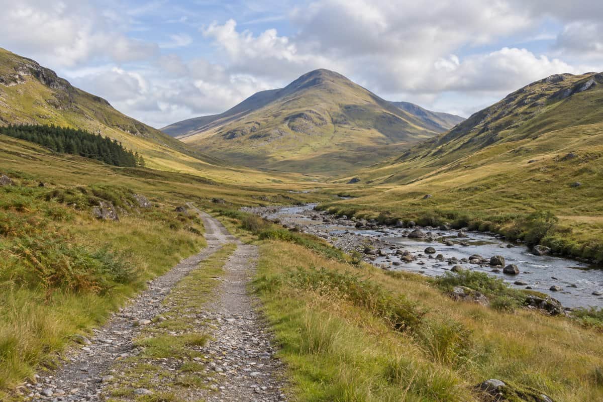
Glen Forsa offers open views towards Beinn Talaidh along a route that mainly follows a track. The riverside return adds variety but includes boggy ground and sections affected by forestry work. There are cattle in the glen, so take that into account when choosing a route, particularly with a dog. Start at the parking area at the foot of the glen.
Knock, near Gruline · 7.75 km return · about 2½ hours
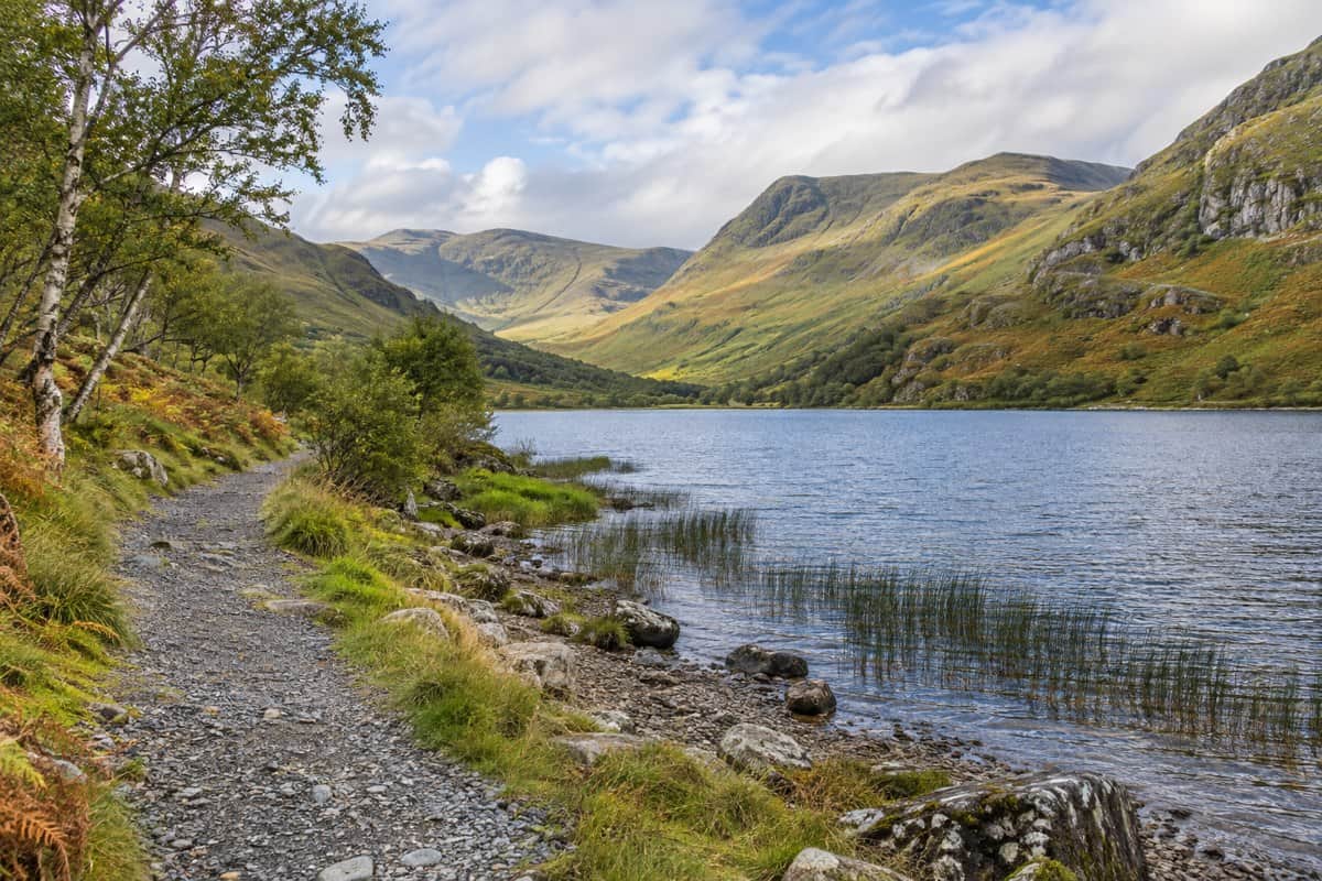
For mountain scenery along a lochside track, this route follows Loch Ba towards Knockantivore before returning the same way. It starts at Knock and is mainly on a good track, offering a different outing from a climb to a summit. Take time to look across the water and surrounding hills; wildlife sightings are a possibility rather than a promise.
Follow the Sound of Mull shoreline between Fishnish and Garmony, with views towards Morvern. This is a more demanding choice than the Fishnish Loop: Forestry and Land Scotland grades it strenuous, with rocky and muddy sections, short steep slopes and narrow boardwalks. The published distance includes the return.
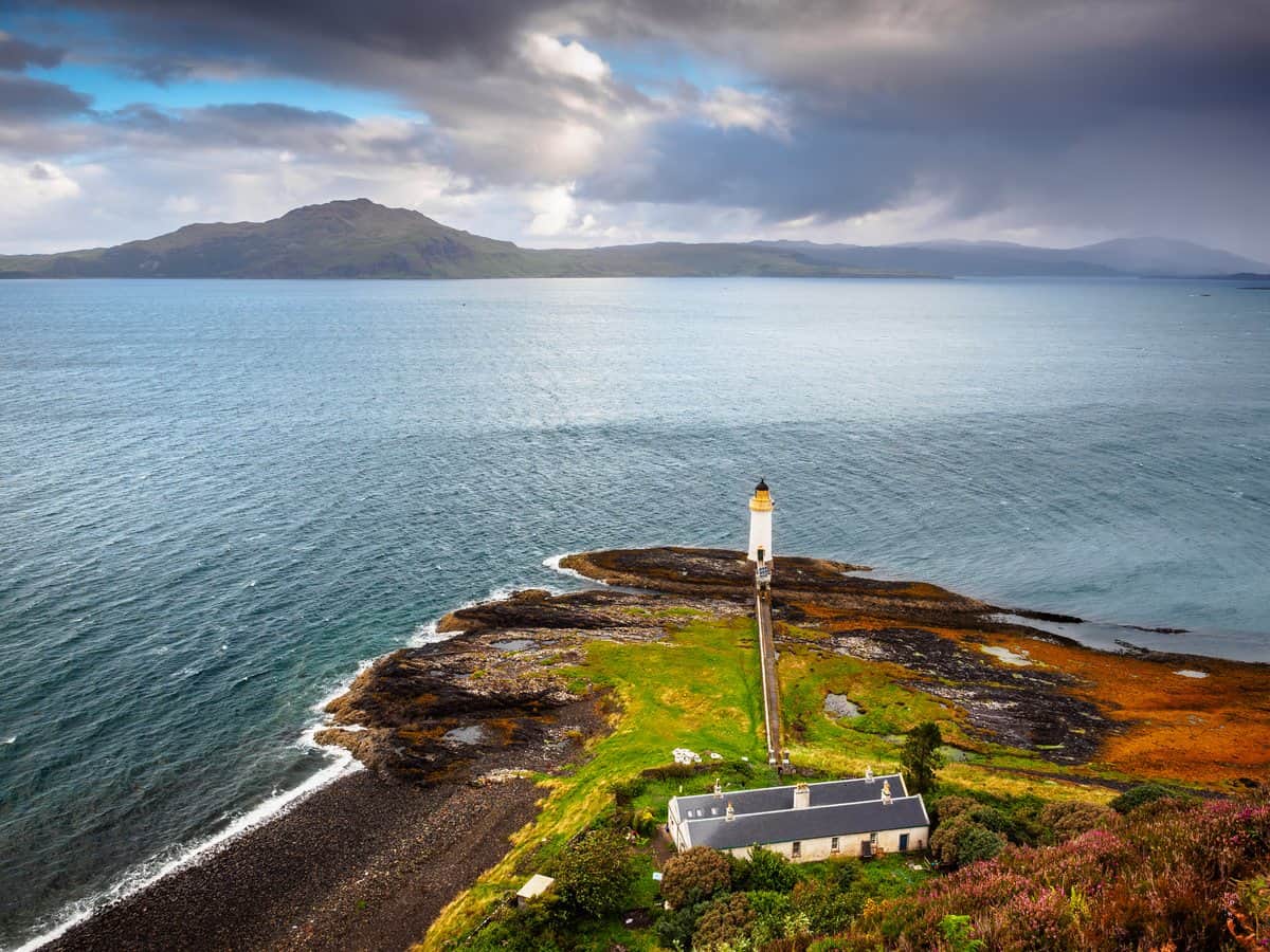
Combine a visit to Tobermory with a walk through woodland towards the lighthouse and views across the water. The full circuit starts at Ledaig car park and uses a rougher, sometimes muddy return above the woods. Retracing the outward path is an alternative described in the guide; the distance shown here is for the full circuit.
Between Dervaig and Calgary · 6.25 km · about 2 hours
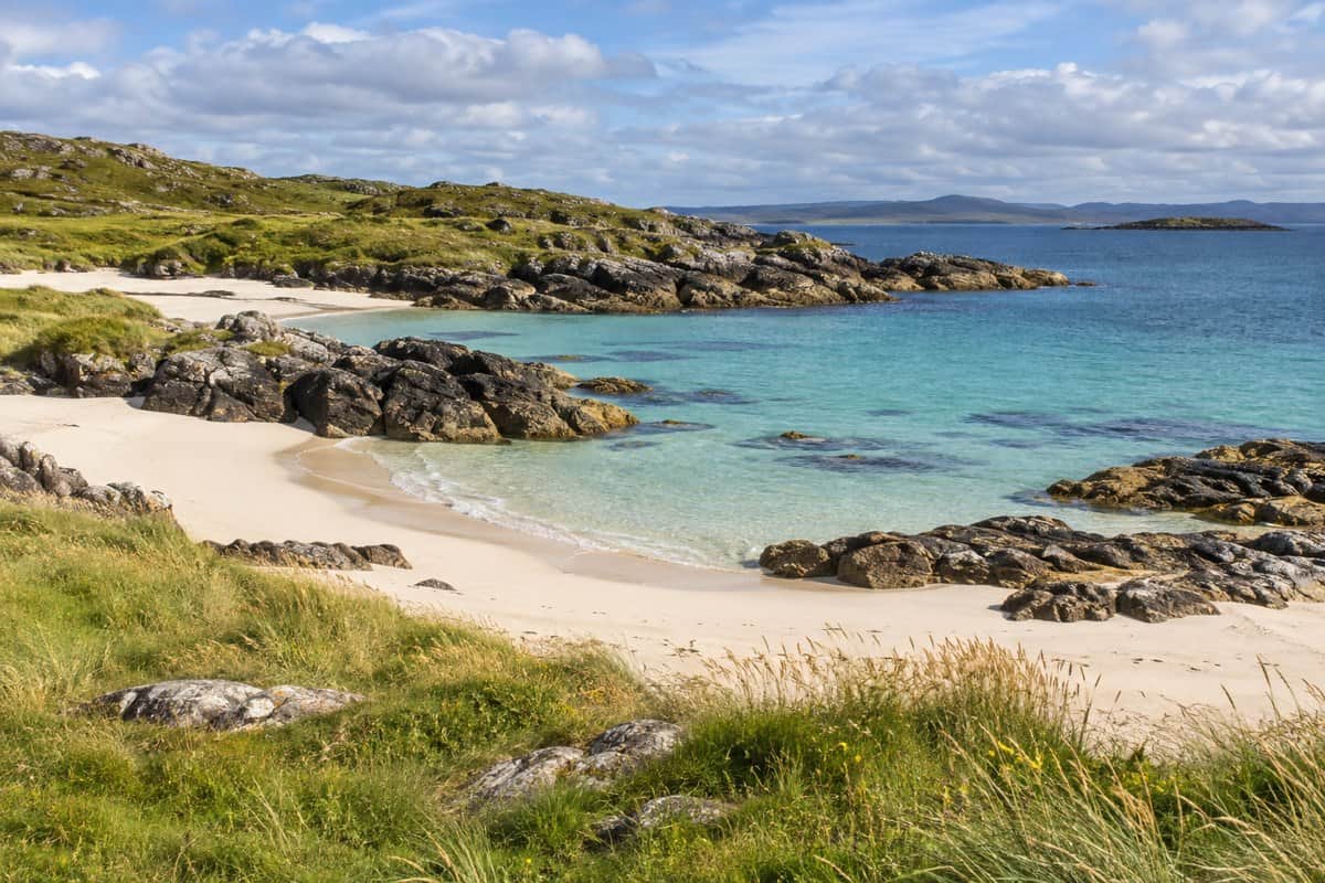
This outing combines a sandy beach with the remains of Kildavie settlement. Start at Langamull Wood car park and follow the linked route along tracks and paths. The distance includes the settlement visit, rather than just the walk to the beach. The approach passes grazing land, so keep dogs under close control.
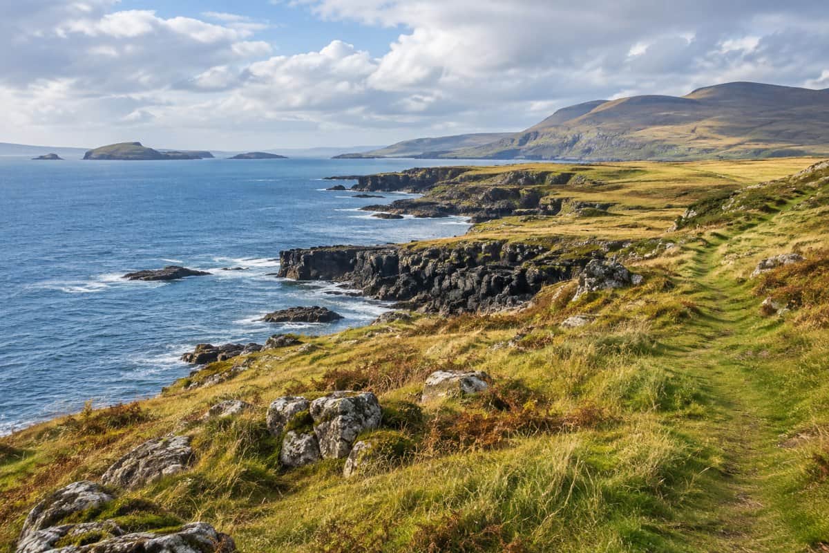
Set aside a longer outing for this circuit of coastal scenery and abandoned settlements on the Treshnish peninsula. Starting at the quarry at Ensay, it begins on a track before reaching rougher coastal ground and a boggy moorland return. Read the full guide when deciding whether it suits your experience, and follow seasonal signs for dogs and nesting birds.
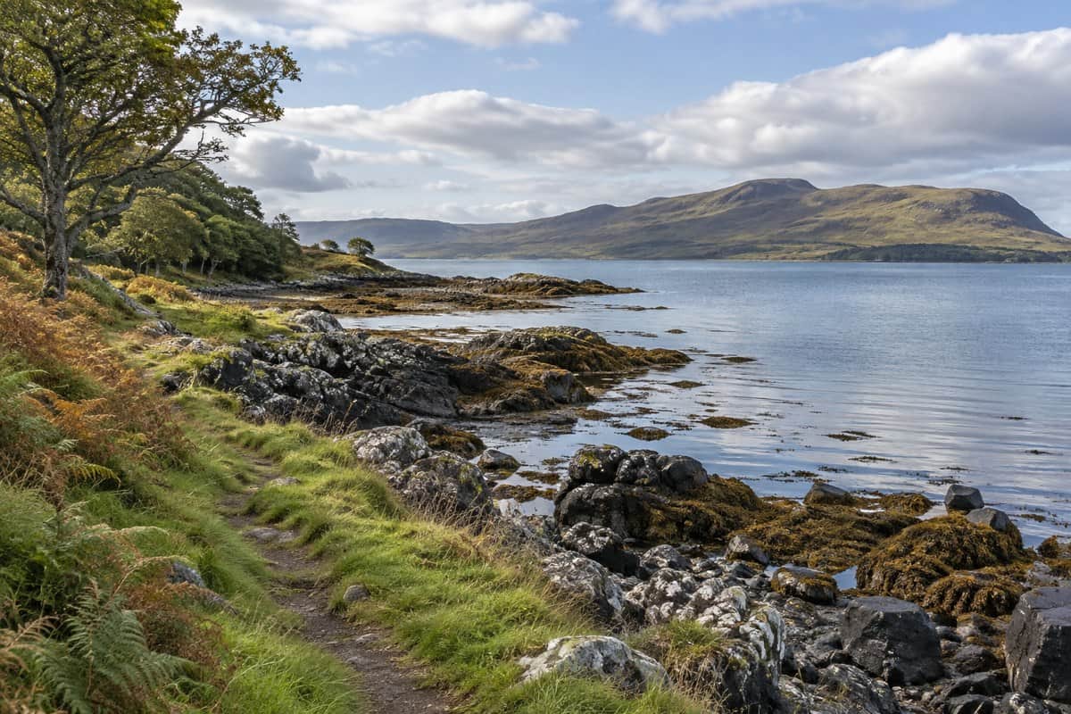
Images marked AI illustration evoke the type of scenery along these walks; they do not show exact route viewpoints. The Tobermory lighthouse image is an original photograph by Richard Kellett.
Make a day of it
Our Days Out on Mull guide combines walks with beaches, art and local food. For a longer stay, A Week on Mull includes a strenuous ascent of Ben More from Dhiseig alongside island trips and quieter days.
Bring footwear suited to wet and uneven ground, weather protection and a route map. Choose a walk for the day's conditions and the people joining you; a short distance does not necessarily mean easy terrain.
Stay at Aros Mains
Return to your own cottage or the apartment in historic Aros Mains House after a day exploring Mull.